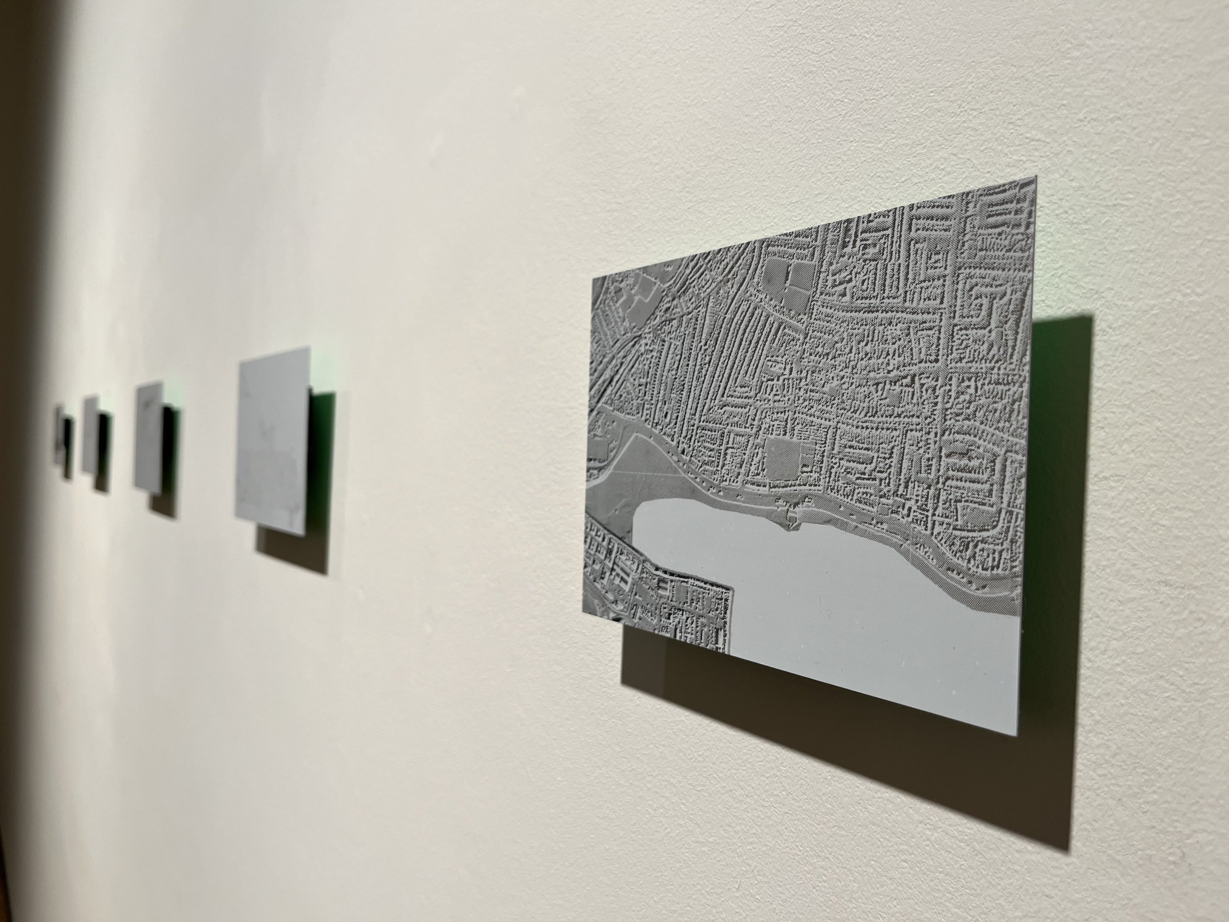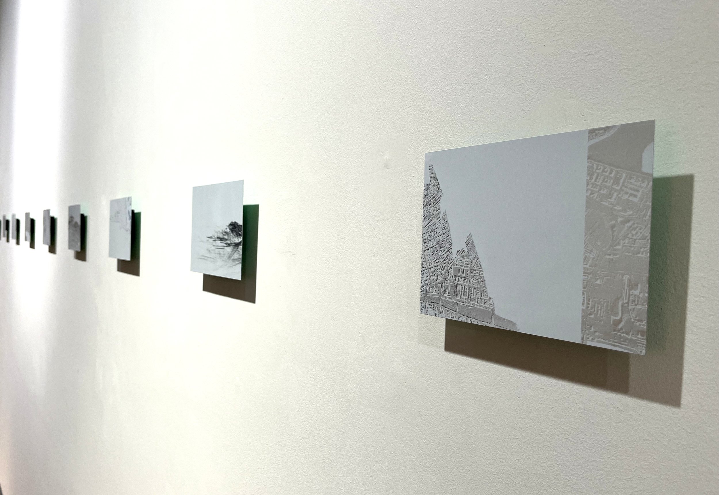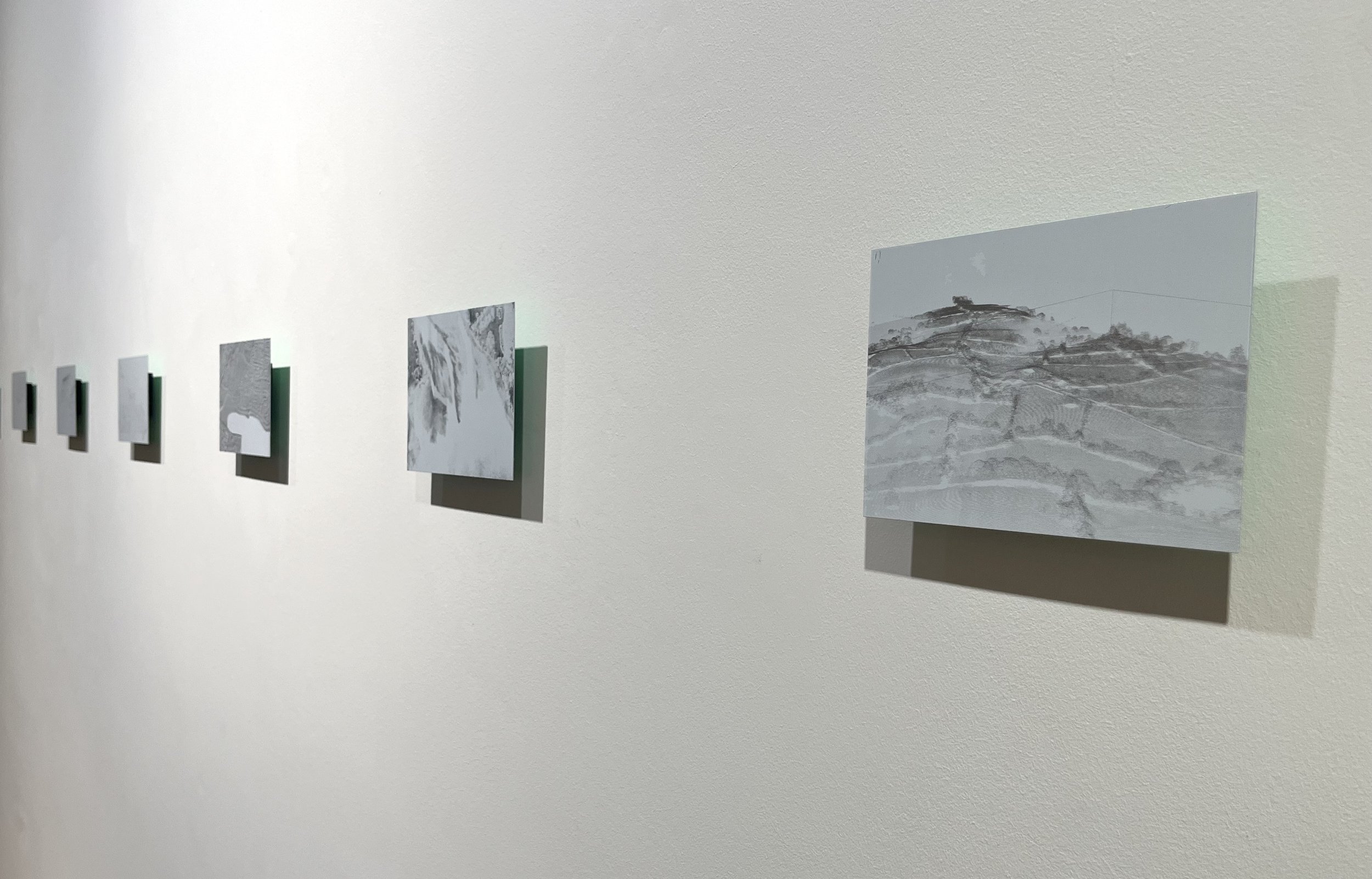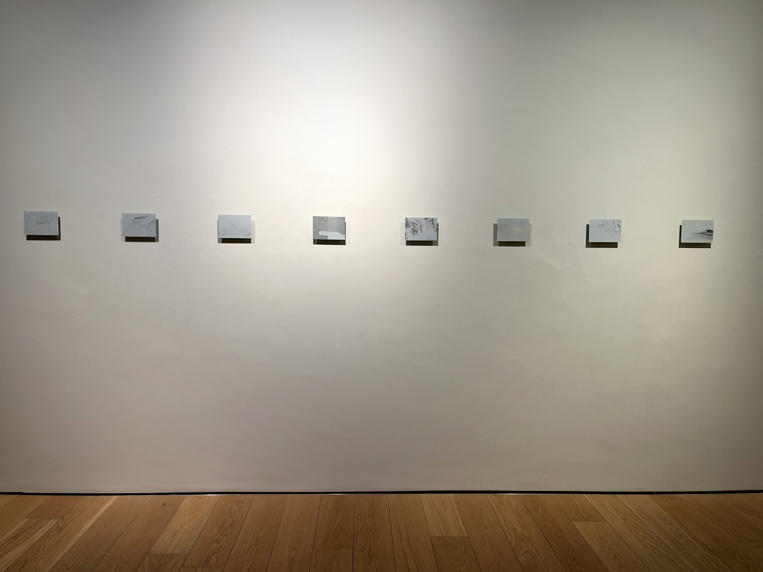
Nodule Maps Series of aluminium prints 2025
With great frequency, the ever-shifting transitional zones between saltwater and solid ground are mapped and calculated through remote sensing technologies. Nodule Maps re-mediates LiDAR imagery of the Dún Laoghaire coastline onto aluminium. LiDAR is a remote sensing technology that uses pulses of laser light to measure distances to Earth, which are then processed into point cloud and raster data. Meanwhile, aluminium is a material with an energy-intensive extraction process, and one of the metals included in proposals for deep-sea mining. Through this layering of media, Nodule Maps explores the techno-logics and visual modes through which nations and extractive industries transform complex environments into territorial maps of prospective resources. The artwork scrutinises how fluid and fractal ecologies are rendered through accumulating data points as the geometries of cognitive, practical, and emotional relationships with the planet.
Kindly supported by Kildare County Council.